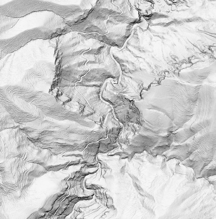
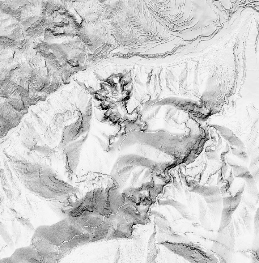
Shading relief generation (hillshade)
The shading relief rendering (hillshade) is done with the methodology proposed by Collette Gantenbein (University of Idaho) and published by the U.S. Geological Survey under the name “Creating Shaded Relief for Geologic Mapping using Multiple Light Sources”, based on a digital elevation model calculated for a 1x1 meter mesh step.
This process uses multiple sources of illumination in order to achieve greater visual plasticity, which facilitates the interpretation of the geomorphological characteristics of the territory, reducing contrasts and areas that are excessively bright or in absolute shade.
After multiple tests, the following three lighting sources have been selected:
| Azimuth | Height | Transparency |
|---|---|---|
| 350º | 70º | 65% |
| 15º | 60º | 50% |
| 270º | 270º | 70% |
All of them are combined using the transparencies and generating a composite shading model, where each point of the terrain shows a brightness value.
The processing of the images to generate the shading model has been implemented in FME.