Digital Terrain Models
A Digital Terrain Model (DTM) is a numerical representation of a spatial variable, which is distributed continuously over the territory.
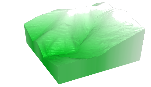
When it comes to represent the soil geomorphology of a territory by modeling its height or elevation, these models are called Digital Elevation Models (DEM).
In earth sciences, in addition to the digital models of elevations, the models of slopes and orientations are of special interest.
When you want to model this together with the objects, the term Digital Surface Model (DSM) is used.
In LiDAR analysis the DSM has special interest, since there is the possibility of symbolizing each point of the model according to its classified value, which allows a very quick visual analysis of the results of the classification.
Types of models
The digital terrain models are usually represented by geometric structures, in which each of its nodes encodes the value of the variable to be modeled at that point of the territory.
These structures can be regular: square, rectangular, triangular, hexagonal ... or irregular, being the most usual cases the regular square meshes and the triangulated irregular networks (TIN).
LiDAR points clouds, once conveniently classified, allow the generation of digital terrain models of great precision and accuracy.
From the LiDAR points classified as type 2 (Ground), digital models of elevations, slopes and orientations can be calculated, representing the soil of a territory.
DTM of La Rioja region
The Government of La Rioja, produces and maintains different DTM collections: elevation, slope and orientation.
These models are distributed following a structure of regular square meshes of different resolution: 1x1m, 2x2m and 5x5m, covering in all cases the entire territory of the Autonomous Community of La Rioja (Spain).
The models are calculated and updated, in their different resolutions, from the most recent available LiDAR data.