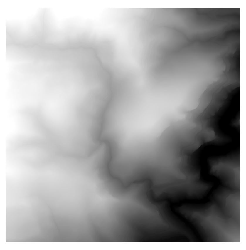
Calculation of the Digital Elevation Model (DEM)
Once the classified LAS files are available, the Digital Elevation Model (MDE) is generated.
The model uses the last echoes of the laser pulse and generates a bare floor surface.
The tool 'GridSurfaceCreate' implemented in Fusion Lidar ToolKit (LTK) (McGaughey, 2012) is used to generate a regular mesh of data representing the terrain in raster format.
This tool determines the elevation of each grid cell by calculating the average of all LiDAR points classified as terrain within the cell.
In the case that the cell does not contain any points, it generates a value by interpolation, from the neighboring cells.
A cell size of 1x1 is defined, with units in meters and in the UTM coordinate system (which corresponds to code 1) and zone 30. The input files are in LAS format:
-
It is converted to LAS format with the following command:
las2las [directory][file-name].laz -olasGridSurfaceCreate [switches] surfacefile cellsize xyunits zunits coordsys zone horizdatum vertdatum datafileGridSurfaceCreate /class:2 [surfacefile].dtm 1 m m 1 30 0 0 [directory][file-name].las
-
It is converted to ASCII format (.asc) with
dtm2asciicommand:dtm2ascii [directory][file-name].dtm [file-name].asc