La Rioja (Spain) 2016 Lidar Processing
In 2016, the Government of La Rioja and the National Geographic Institute signed a collaborative agreement, within the framework of the National Aerial Orthophoto Program (PNOA), to obtain LiDAR flight coverage, with an average density of two pulses per square meter, for the entire region of the Autonomous Community of La Rioja (Spain).
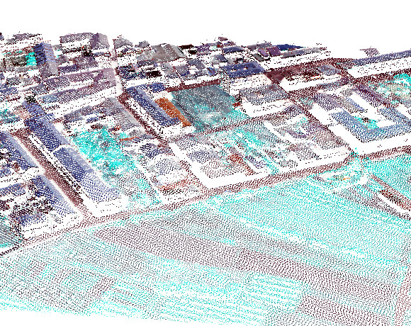
The objective of the "LiDAR La Rioja 2016 Processing" project is the development and implementation of a work methodology for obtaining classified LiDAR files and the subsequent production of Digital Terrain Models (DTM).
To improve classifications as much as possible, we analyzed the information that the Land Occupation Information System of Spain (SIOSE) encodes for each area of the territory, in order to adapt the LiDAR classification parameters to the characteristics of each environment.
In addition, the Normalized Difference Vegetation Index (NDVI) was taken into account, calculated from the infrared band acquired on the same flight, in order to improve the classification criteria, differentiating the zones with and without vegetation.